“Visualizing Earth Systems”, the theme of the 2015 Earth Science Week
GERAS CARRIES OUT ITS FIRST PROJECT EVALUATION
October 22, 2015Press Release on Pollination Project Seed Grant 2015
November 1, 2015“Visualizing Earth Systems”, the theme of the 2015 Earth Science Week
eswbanner2015
Earth Science Week 2015 learning resources and activities engaged young people and others in exploring ways of visualizing Earth systems. Using technologies ranging from on-site data collection to satellite-based remote sensing, scientists investigate conditions of Earth systems. And today’s geoscientists display their findings in charts, graphs, diagrams, illustrations, photos, videos, computer generated animations, and 3D-printed creations.
With this theme, Earth Science Week explored what it means to see our planet through eyes informed by the geosciences. Geoscientists are finding innovative ways to not only examine natural phenomena, but also present that information to professional, educational, and other audiences. In addition to tools such as telescopes and microscopes, we can also view and map changes in natural systems through new avenues such as computer games, Smartphone apps, and online videos.
Earth Science Week (ESW) is a national and international event created to help the public gain a better understanding and appreciation for the Earth Sciences and to encourage stewardship of the Earth. Traditionally held in the second full week of October, Earth Science Week encourages the understanding and promotion of earth science at local, state, national and international levels. Since October 1998, the American Geosciences Institute (AGI) has organized the Earth Science Week. The objectives of Earth Science Week are:
• To engage students in discovering the Earth sciences.
• To remind people that Earth science is all around us.
• To encourage Earth stewardship through understanding.
• To motivate geoscientists to share their knowledge and enthusiasm about the Earth.
The term “Earth system” refers to Earth´s interacting physical, chemical, and biological processes. The system consists of the land, oceans, atmosphere and poles. It includes the planet’s natural cycles — the carbon, water, nitrogen, phosphorus, sulphur and other cycles – and deep Earth processes. Life too is an integral part of the Earth system. Life affects the carbon, nitrogen, water, oxygen and many other cycles and processes.
The Earth system now includes human society, our social and economic systems are now embedded within the Earth system. In many cases, the human systems are now the main drivers of change in the Earth system.
Geospatial technology refers to equipment used in visualization, measurement, and analysis of earth’s features, typically involving such systems as GPS (global positioning systems), GIS (geographical information systems), and RS (remote sensing). Its use is well-known and widespread in the military and in homeland security, but its influence is pervasive everywhere, even in areas with a lower public profile, such as land use, flood plain mapping and environmental protection.
Visualizing Earth Systems is a form of Environmental Monitoring. It monitors many different aspects of the environment, including solar flares, weather, air quality, migratory birds, fish, insects that carry human diseases, forests, water quality and quantity, changes in permafrost, and the ecology of national parks.
Environmental monitoring is critical to knowing whether the quality of our environment is getting better or worse. Information gathered through environmental monitoring is important to many different decision makers, inside and outside the government. With the results of monitoring, the government can make informed decisions about how the environment will affect citizens and how citizens are affecting the environment. Outside the government, the information is used by many people, such as municipal engineers to design flood control systems or public health experts to design effective policies. Timely and effective responses to environmental emergencies, such as spills, are impossible without adequate information. Farmers, hunters, foresters, and fishers all need to know what is happening to the natural resources they rely on.
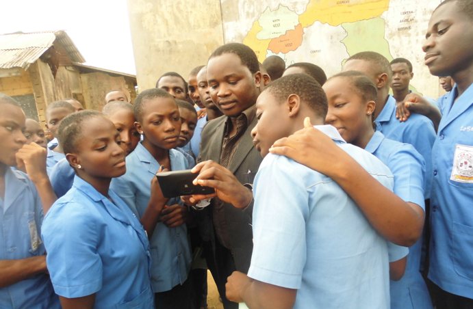
Demonstrating the use of GPS
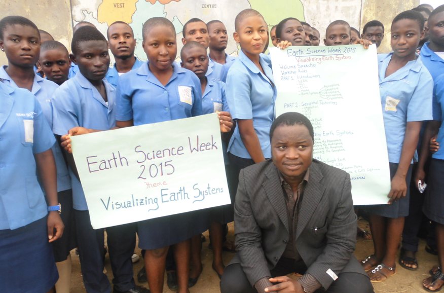
Group picture
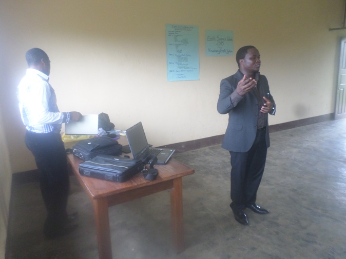
lectures
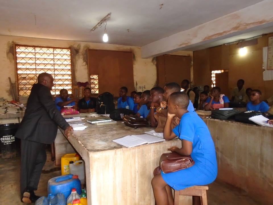
Lectures 2
The assignment below was given to students to reflect on, answer and submit.
Assignment
1 – How do scientists monitor and represent information about Earth systems?
2 – As a future Geoscientist, in what sector will you like to work in future? What are your motivations?
It was a remarkable event that took place in 3 High Schools.